MUNRA POINT
/August 2016
ROad trip Part IV:
MUNRA POINT
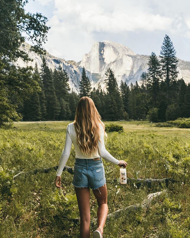
Portland, Oregon


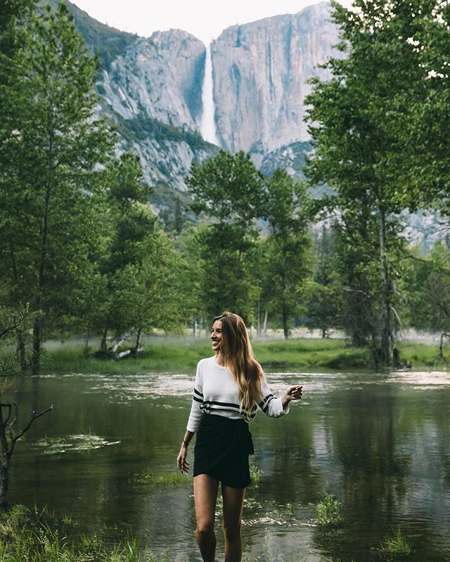
When you are visiting Portland there are really a hundred different things to do. You could stay in the city all day and never be bored, or if you are like us, you could see all the nature surrounding the city. We have had enough of the city life in Tokyo, so this trip was all about the scenery. Jerry had 2 months off and we took advantage of every second of it.
So if you are in the Portland area and you are looking for a nice evening stroll, this is not it. It’s name is Munra Point, and when you Google Munra Point and it describes the trail as “a difficult scramble” you should probably trust those words. Sometimes I make the mistake of letting Jerry do all the research, and this was one of those mistakes. He told me “there’s just a slight incline at the end”, and he also reminded me that hiking is just walking so “it can’t be that hard”. His famous last words.
This hike is a scramble. In my newly revised dictionary, a scramble is another word for an extremely challenging hike. Here’s the thing, we are used to hikes around the valley floor in Yosemite or the hike from PCH to McWay Falls, those are no longer classified as hikes anymore, those are just significant walks. I’m really not trying to scare you away from going on this hike, this is just a warning for those of you who think you are prolific hikers but in reality you are just significant walkers like us.
Still prepared to hike this mofo? Then let me pave the way for you a little bit. We parked at the Elowah Falls parking lot and then started our journey to Munra point. From the parking lot you turn left at the little bridge before the freeway and you follow that until you get to the bike path that leads you up to the freeway. You walk for about a mile along side the freeway actually. Honestly at this point of the hike I really just assumed everyone who said this hike was difficult was being ridiculously overdramatic. Fun fact, that’s not even part of the hike, that is just the significant walk to the trailhead that starts the real hike. The trailhead picks up once you cross back under the freeway, on your lefthand side. The trailhead takes you down into a quiet little forest with a stream running through (which you will appreciate later), you will cross over a tiny bridge and then make a right to start the hike to Munra Point. Someone has carved into a tree “MUNRA” so that will be a good sign that you are going the right way. There are lots of random trails branching off from the main trail, but we ran into someone coming down that told us when you are heading up always stay to the right, when you are coming down always stay to the left. The trails that branch off are usually shortcut attempts but unless you’re a serious experienced hiker I would recommend staying to the right and taking the safer trail. Luckily when we were headed up there were tons of people coming and going so we got to learn from others mistakes. There is a portion of the hike that looks like you have to get on your hands and knees and climb up the side of this mountain but if you just walk past that a little further there is a clear cut trail that zigzags its way up the mountain (don’t worry the hands and knees part is coming later). Just a heads up, if there is someone hiking ahead of you, you really need to be on the lookout for falling rocks. I’m not talking about little clumps of dirt, I'm talking about rocks the size of a baseball that come barreling down the mountain. We had to hide behind trees for about 10 minutes while the group in front of us attempted the short cut.
Once you get through the boulder dodge, you are just on a straight incline the entire way up. You pass so many people and you ask “how much farther?” and every time their answer is wrong. At one point, we had been hiking for an hour and we contemplated turning back because someone told us “ you’re barely half way”, but in reality we were only about 20 minutes away the top. If you’re going to commit to this hike, just know that it’s going to take awhile, it’s going to burn a little and it’s going to kick your ass, especially if you are just a significant hiker like us. You will know you have reached the top when you run into a wall of rocks with a rope. Remember when Jerry told me “there’s just a slight incline at the end”, this is it. Get ready because you’re climbing up a mountain. I decided to ignore the rope that some random dude tied and trust my own hands and feet to get me up. In all honesty it was actually really fun, I’m not going to lie I felt extremely athletic, especially when I look back at my football player boyfriend who was clinging to the rope like his life depended on it.
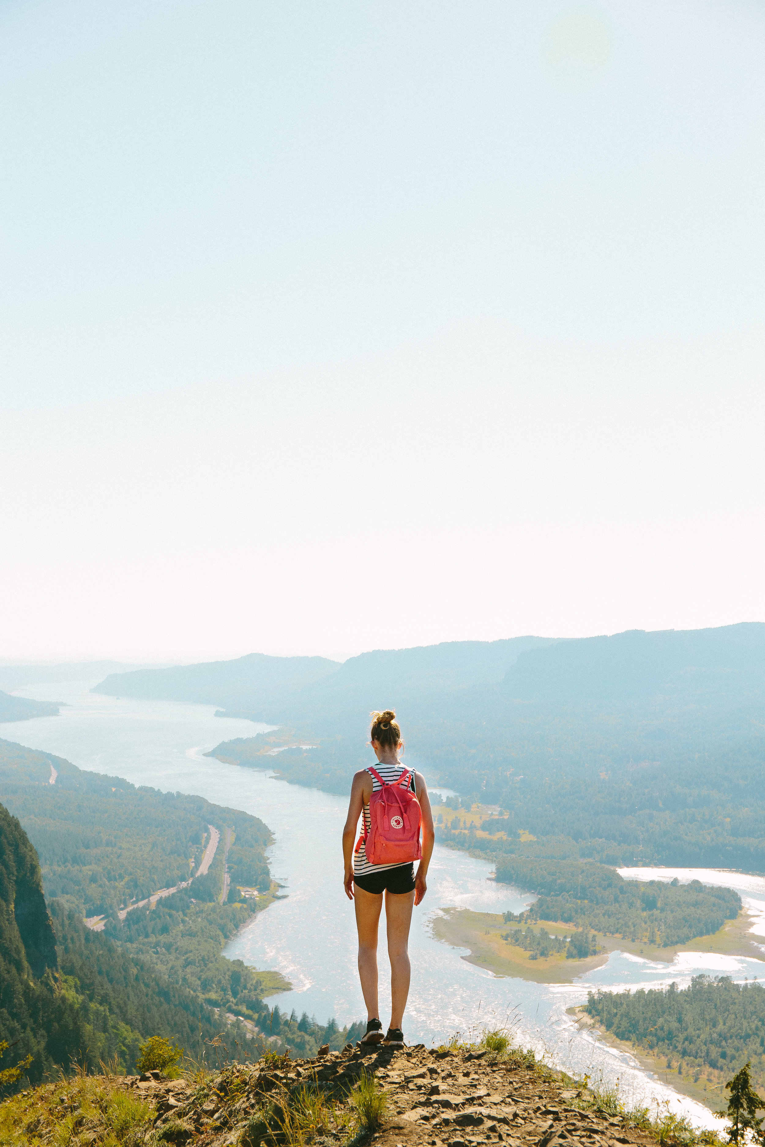
Once you get to the top of that you’ve made it! All of our pictures are only from the top, we had initially planned on taking pictures the whole way up but this hike really requires your full attention. We actually witnessed a girl fall down the side of the mountain on her way down, and the only reason she is probably still alive was because her foot caught on a tree branch as she was falling face first. Jerry and 3 other guys who just happened to be nearby, climbed down and pulled her back up, it was such a surreal thing to watch happen. Once she fell over the edge there wasn’t anything anyone could do, she is extremely lucky that her foot was caught, so be careful! A lot of steep edges and lose rocks that could really ruin someone’s Saturday. I definitely would not bring children or dogs, but I would bring tons of water and maybe lunch to eat at the top too.